
Basic Points
Night-earth texture with random colored altitude points.
Captured from the interactive usage.py gallery. Prefer GIFs where the scene animates;
otherwise a still PNG shows the rendered state.
Night-earth texture with random colored altitude points.
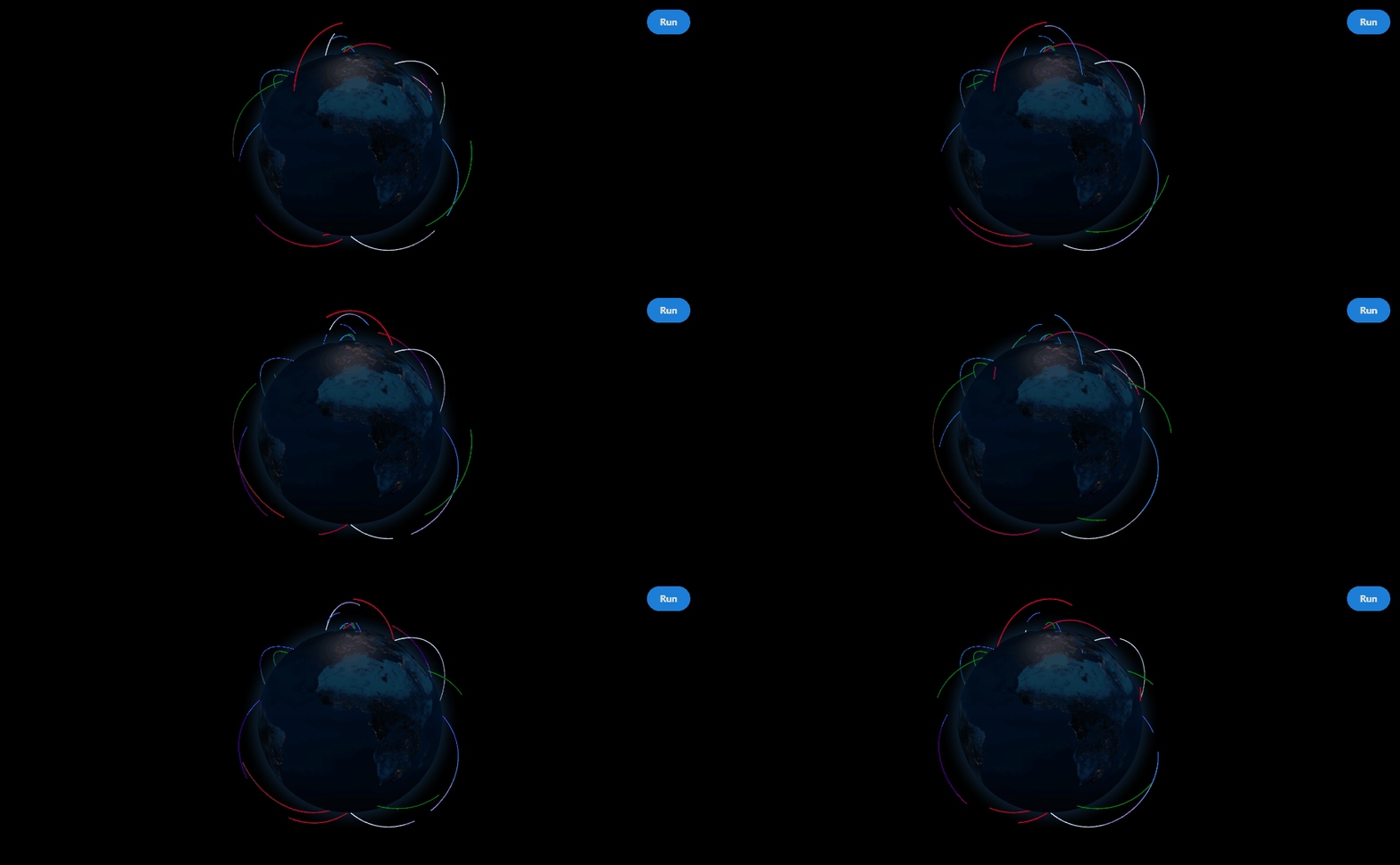
Dashed arcs with per-arc dash timing authored in Python.
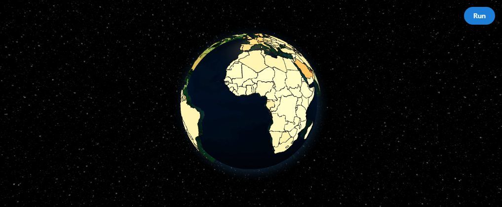
GDP-per-capita coloring with clientside hover highlight.
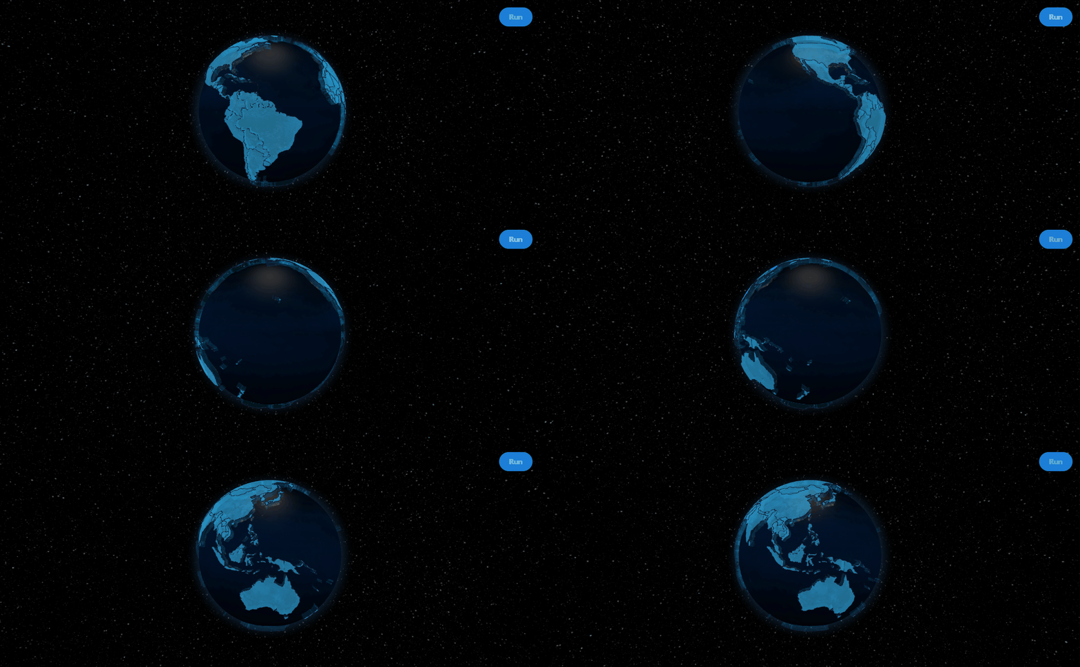
Browser-fetched GeoJSON with summary hover payloads.
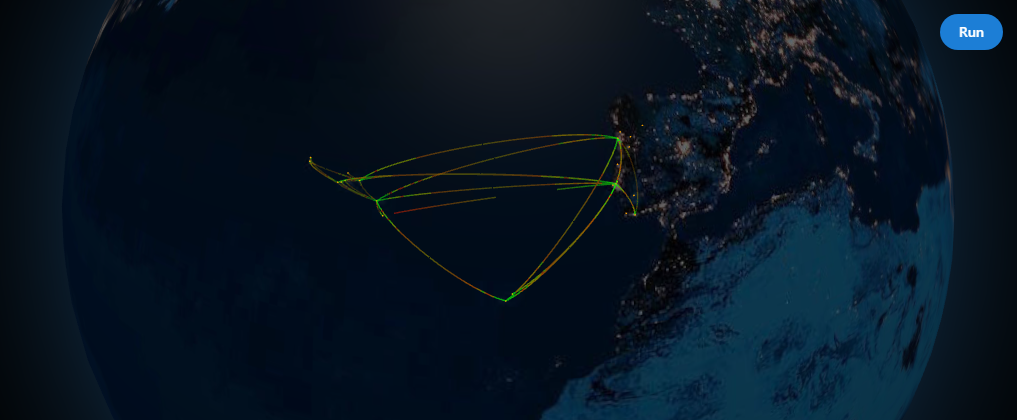
OpenFlights-derived routes with hover highlighting.
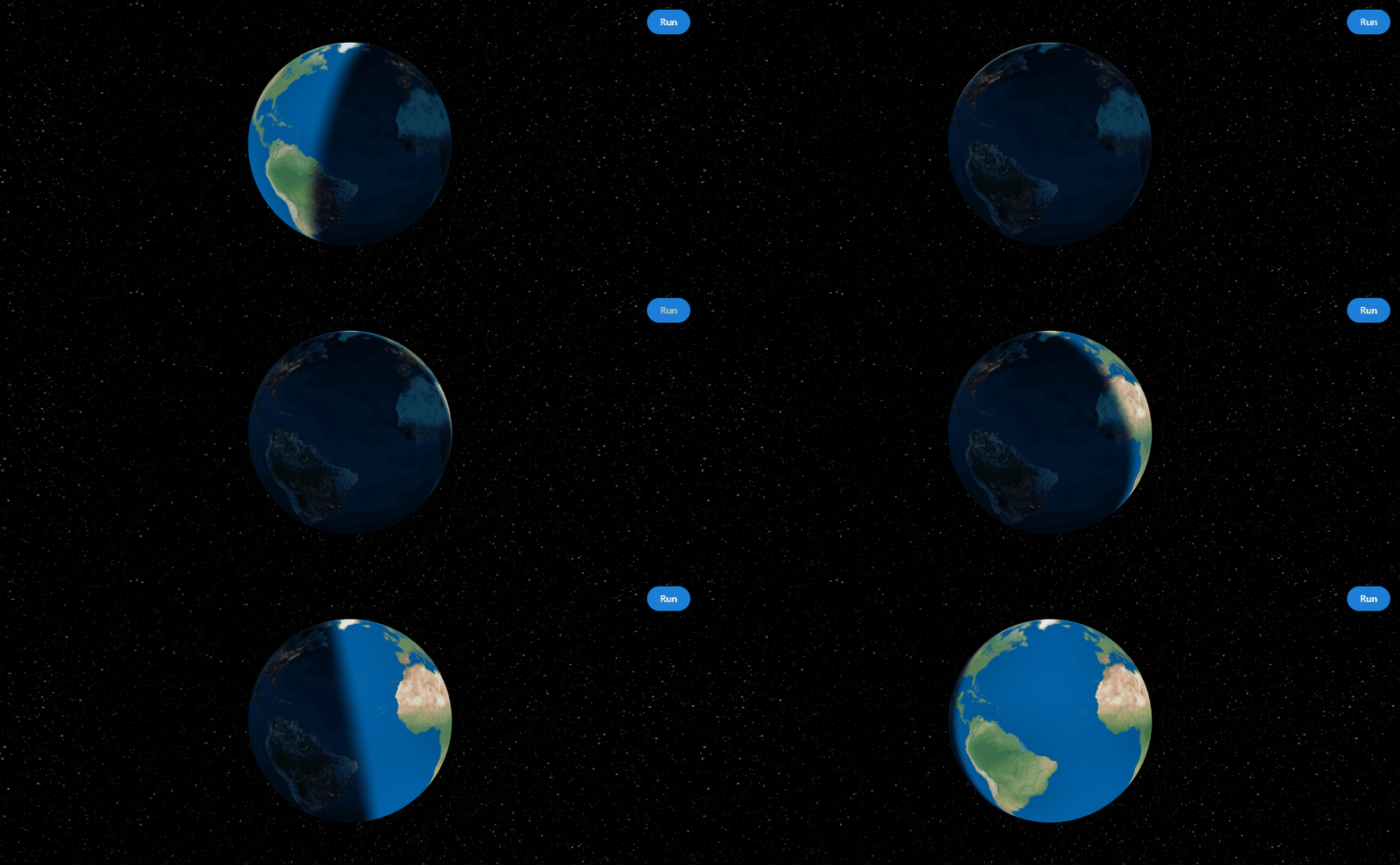
First-class day/night shader mode.
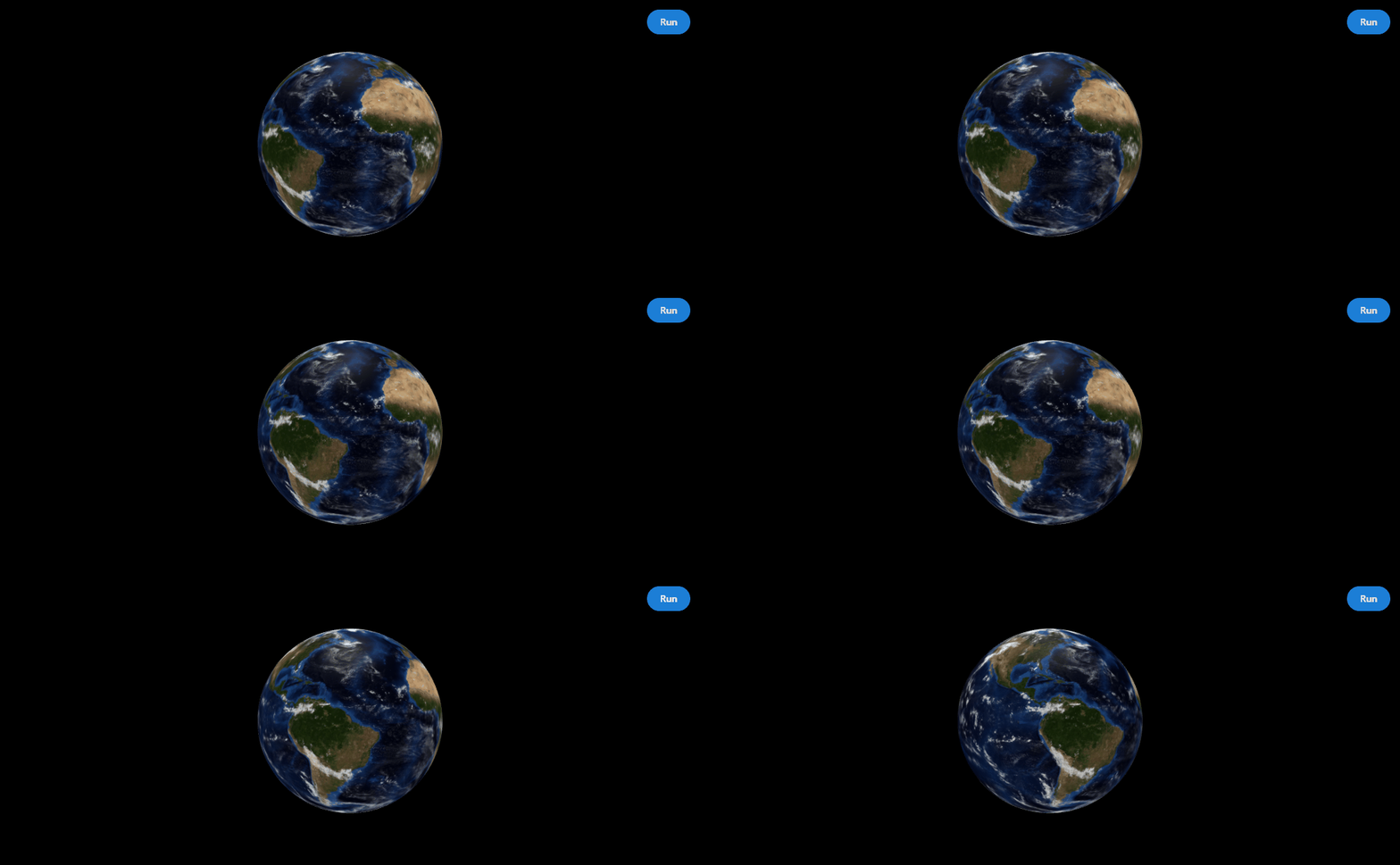
Rotating transparent cloud shell.

Camera-aware tethered HTML overlays for briefing-style scenes.
cd dash_globe
python usage.py